ECOLOGY & CONSERVATION BIOLOGY
IN THE MILLER LAB
ECOLOGY & CONSERVATION BIOLOGY
IN THE MILLER LAB
Contact: Jim Miller
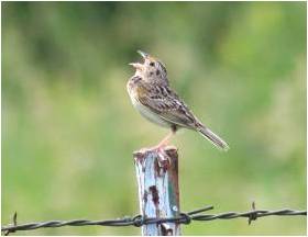
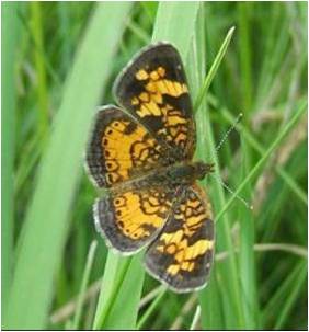
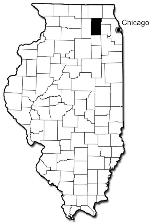
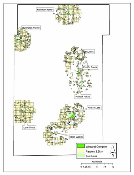
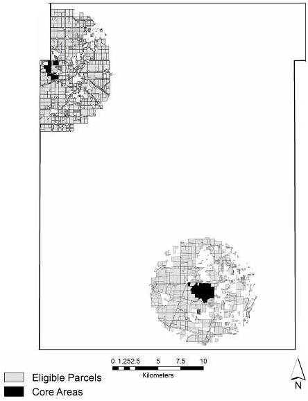
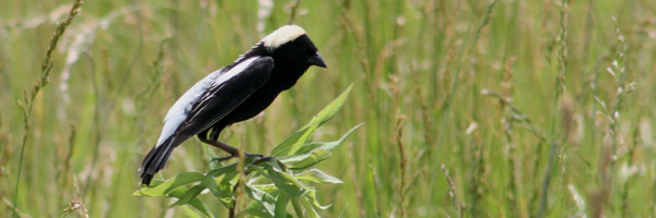
The objective of this project was to develop recommendations on future land protection strategies for grassland birds and remnant-dependent butterflies in a rapidly urbanizing landscape. We focused on Kane County, Illinois, which covers 1325 km2 on the western fringe of the Chicago metropolitan area. Prior to European settlement, approximately 60% of the county was tallgrass prairie, with the remainder comprising oak savannas, riparian woodlands, and wetlands. Widespread conversion to agricultural uses all but eliminated native land cover, particularly in the uplands, during the 19th and 20th centuries. Growth rates have sky-rocketed over the last few decades, with the population expanding by 27.3% from 1990-2000 and then by 21.1% from 2000-2006. By 2030, the county’s population is projected to exceed 718,000 people. While >60% of the land here remains in agricultural uses, Chicago’s expanding footprint has resulted in the conversion of Kane County’s easternmost quarter to urban and suburban development. The probability that the remainder of the county’s eastern half will be developed by 2030 ranges from moderate to high.
Rapid growth has also been attended by conservation opportunities, as residents recognize that the rural character which initially drew them to the county is quickly disappearing. In response, the public has overwhelmingly supported three bond initiatives since 1999, awarding over $250 million to the Kane County Forest Preserve District to acquire open space intended to provide recreational opportunities, preserve cultural and historic resources, and protect habitat for native species. Our goal was to provide decision support in meeting this last goal. We used an optimization modeling framework to devise spatially-explicit habitat acquisition and restoration strategies, based on the requirements of our two focal taxa. Optimization models are part of a broad class of computer tools used to provide guidance, information, and insights to planners and decision-makers. To parameterize our models, we used digital parcel maps, existing GIS layers (e.g., land cover, roads, hydrology, protected areas), land acquisition and restoration costs, butterfly survey data, and information on the habitat requirements of grassland bird species.
Collaborators: Dr. Robert Haight, Dr. Stephanie Snyder, Adam Skibbe, Kane County Forest Preserve District
Publications:
Snyder, S.A., J.R. Miller, A.M. Skibbe, and R.G. Haight. 2007. Habitat acquisition strategies for grassland birds in an urbanizing landscape. Environmental Management 40:981-992. (pdf)
Funding: USDA Forest Service, Iowa State University